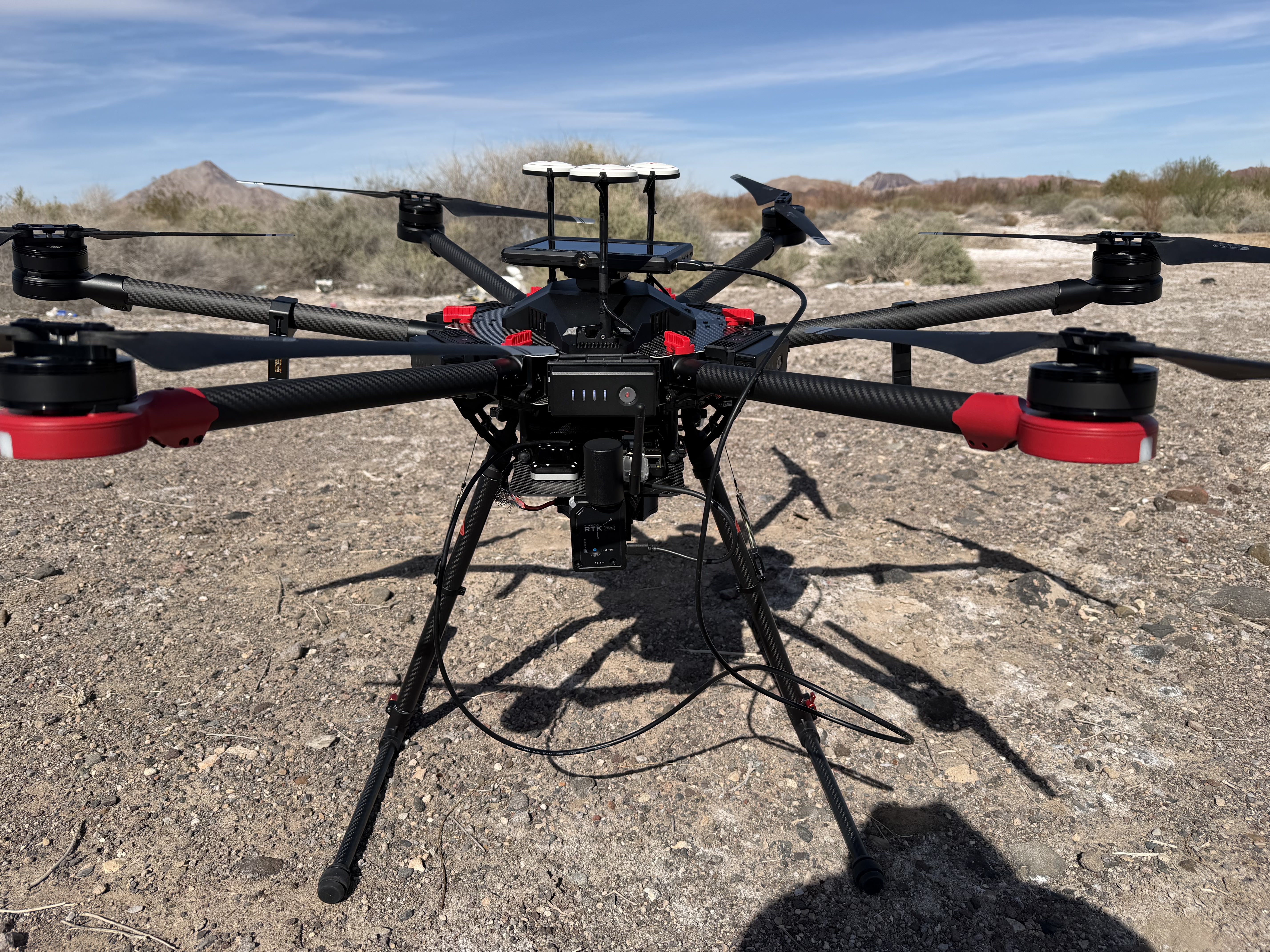
Embedded Multisensor UAV Imaging System for Environmental Monitoring
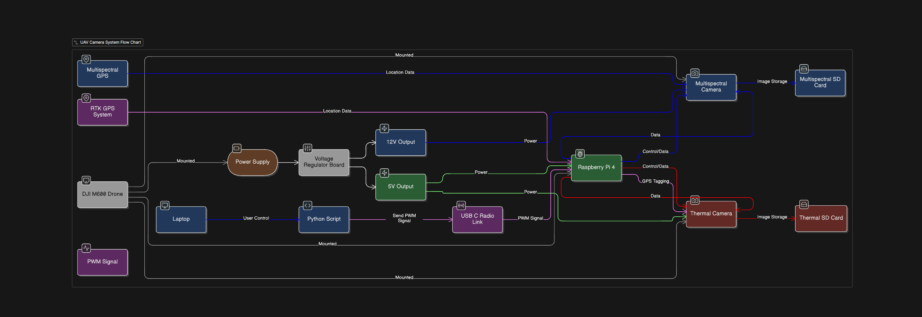
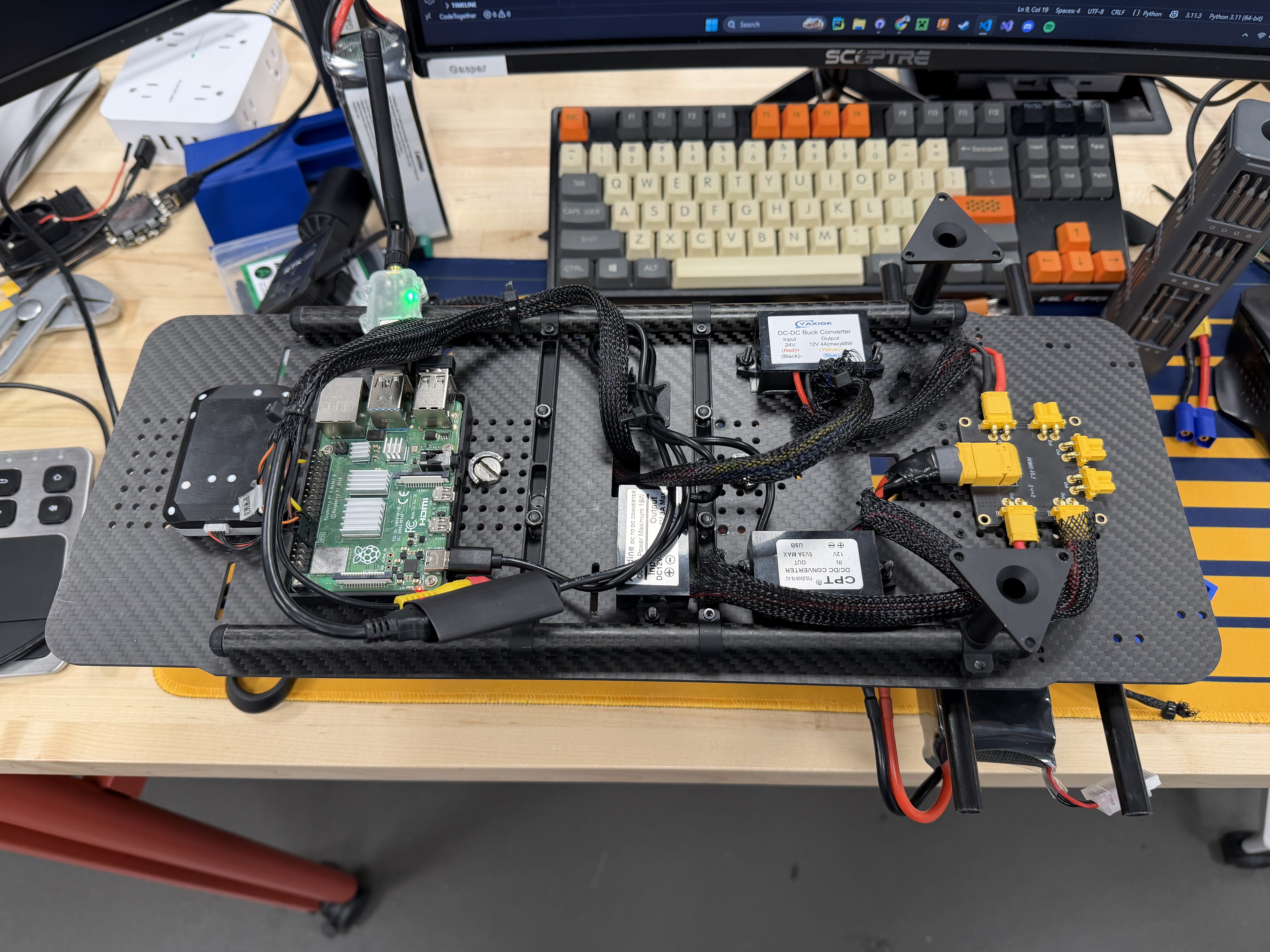
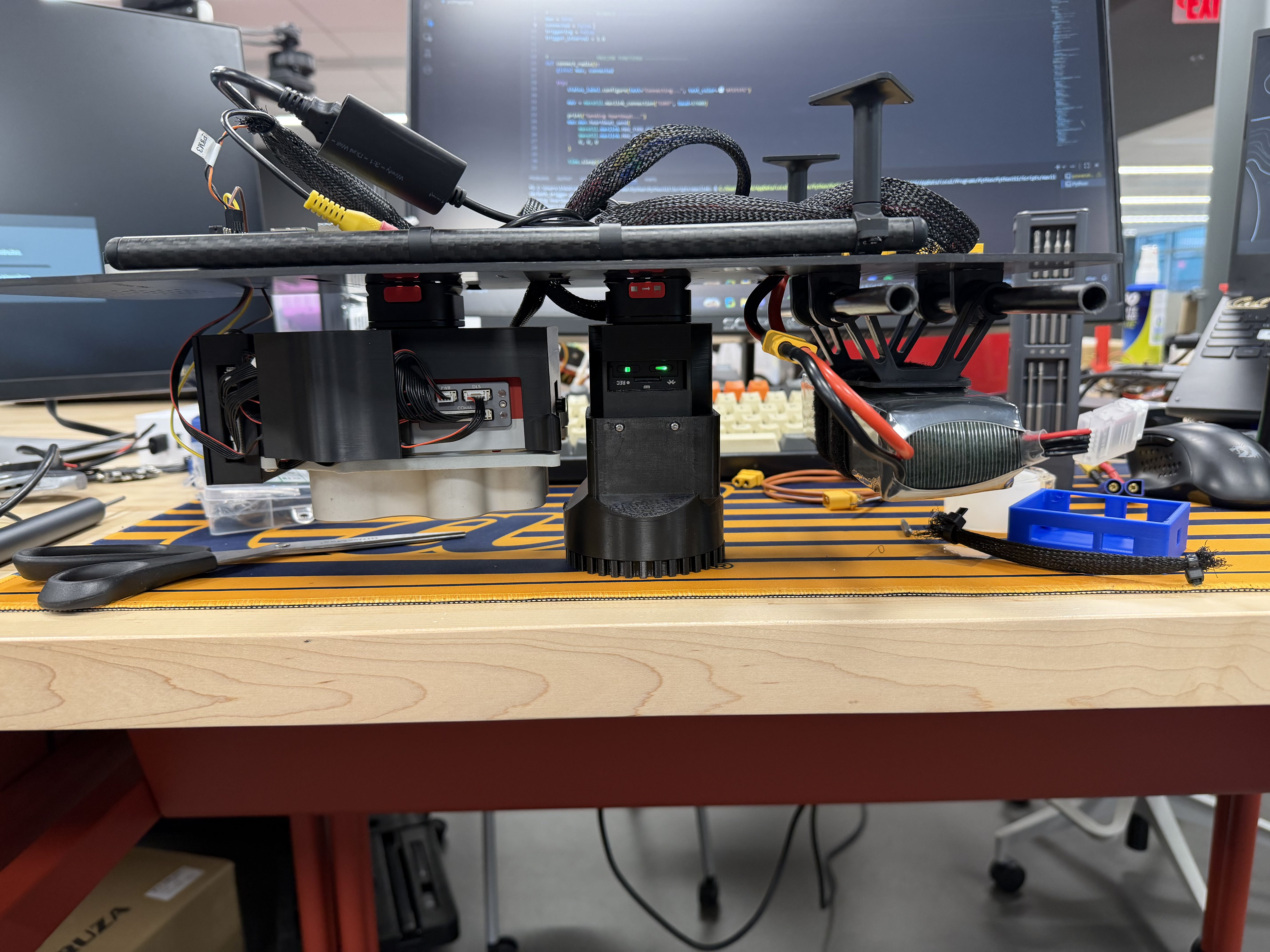
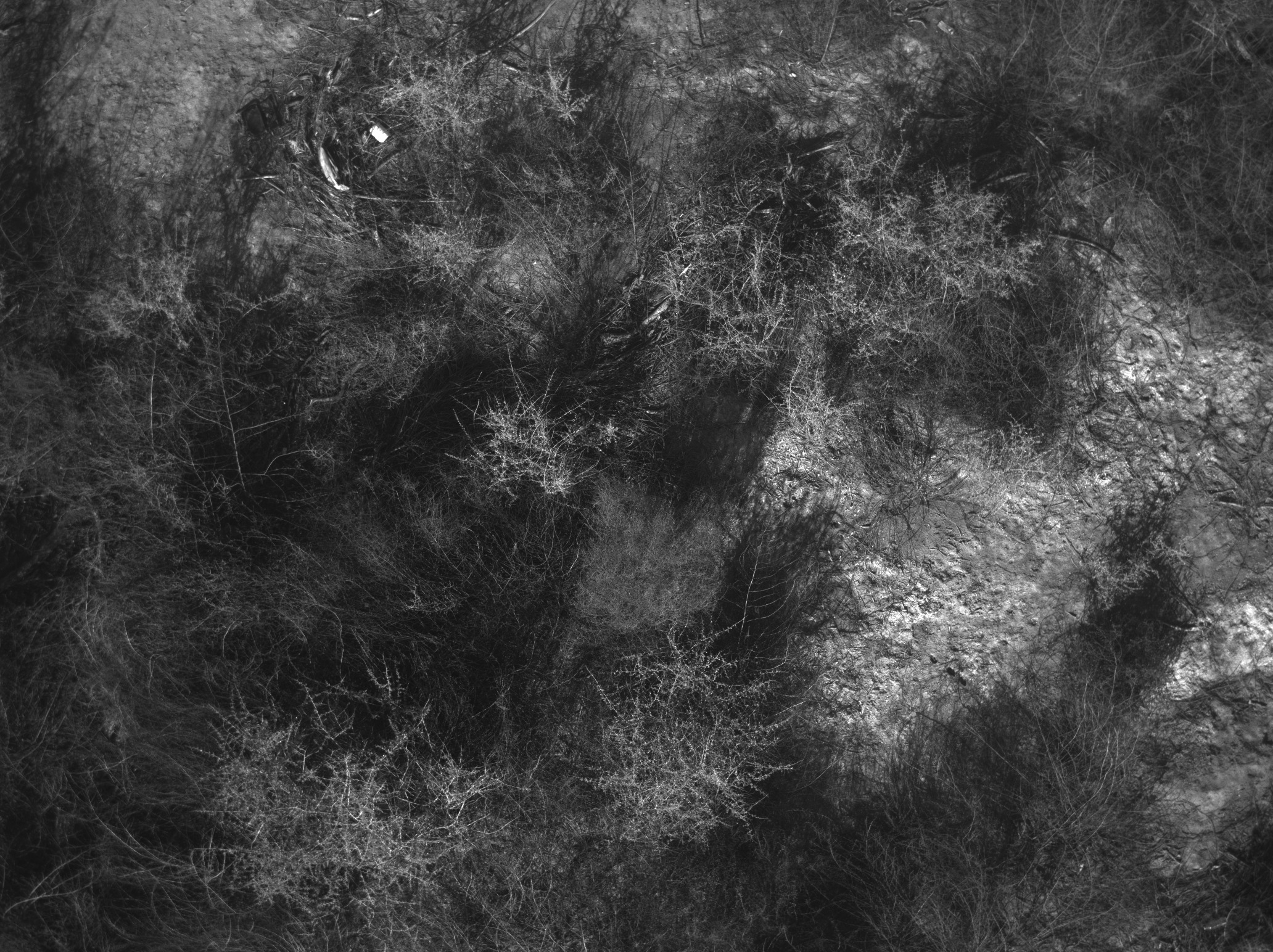
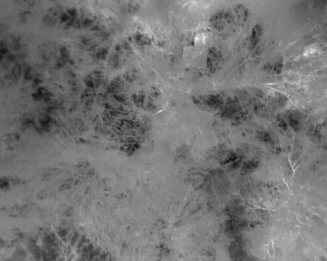
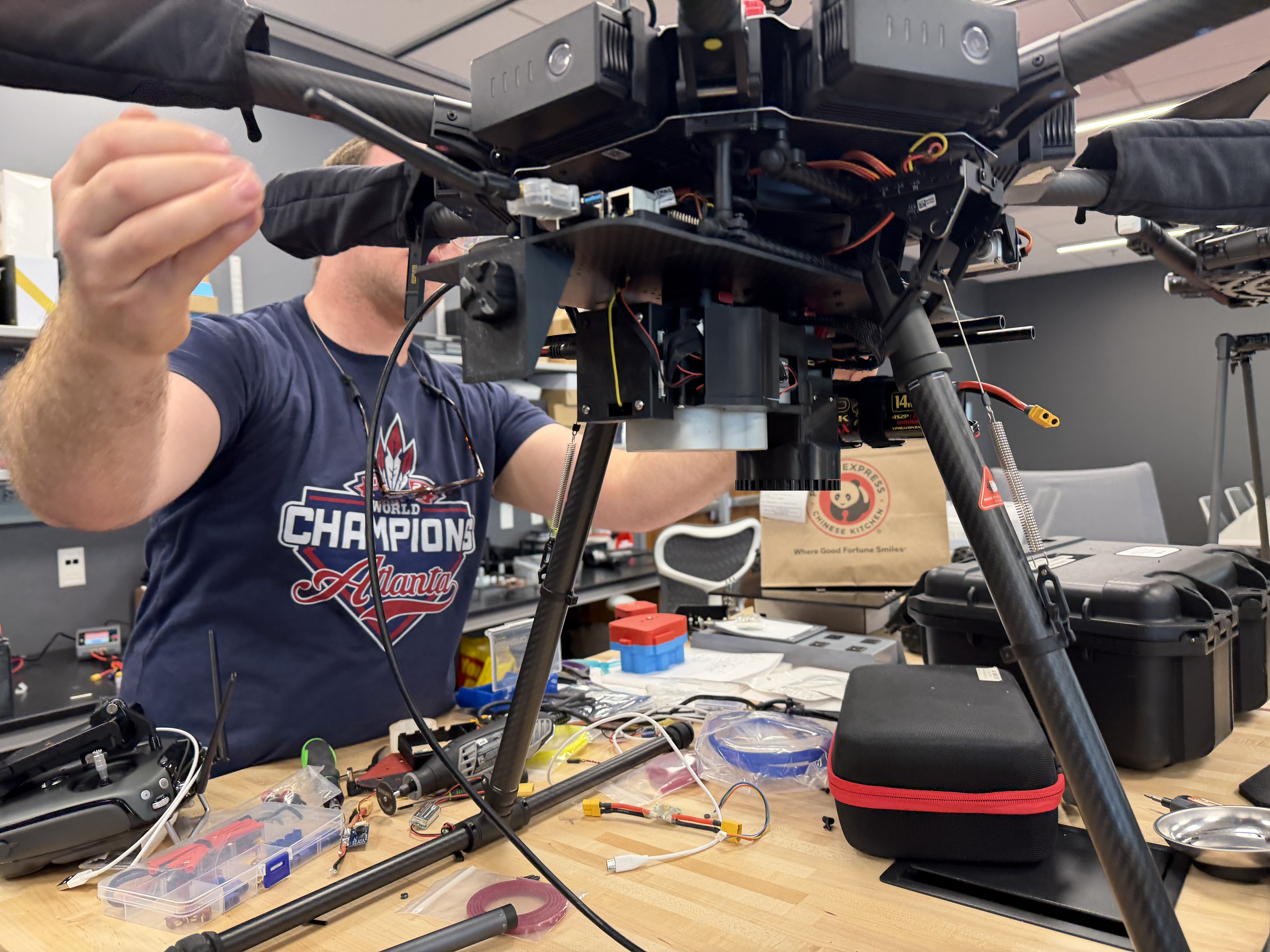
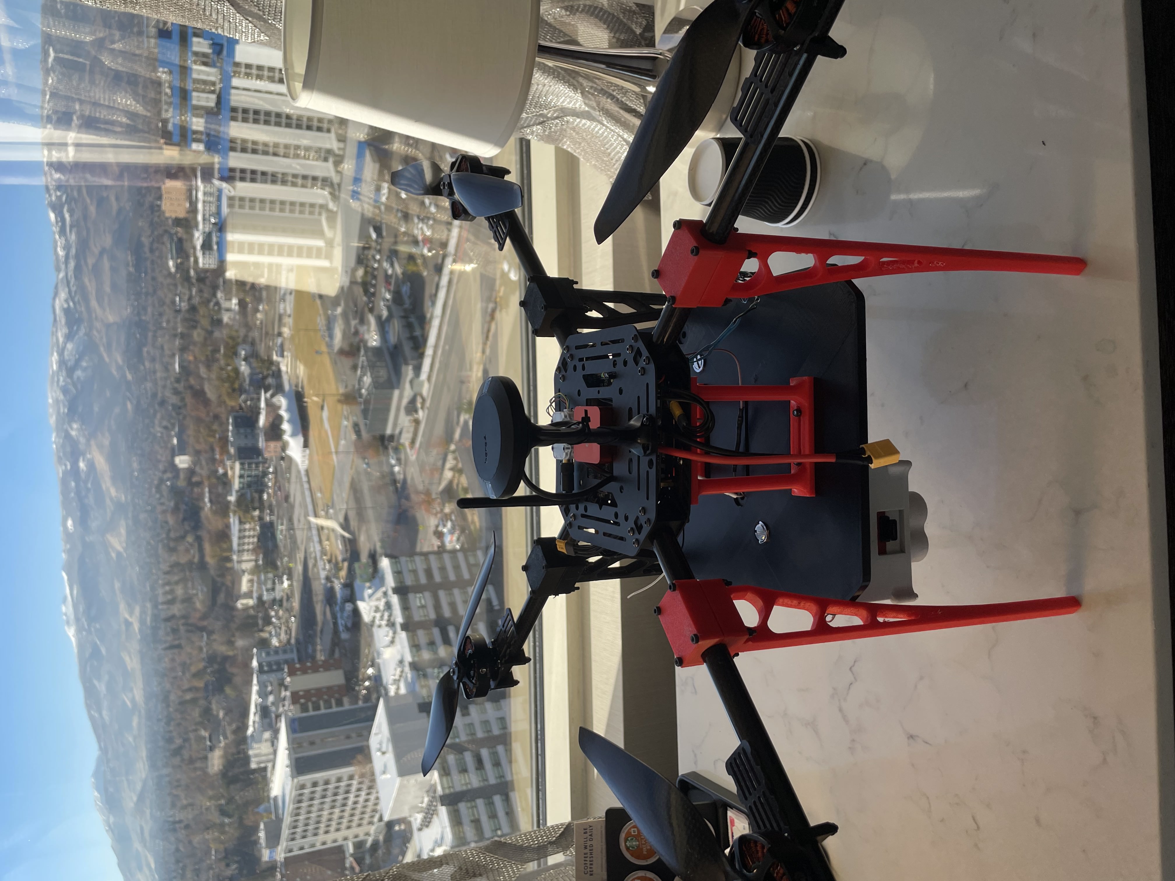
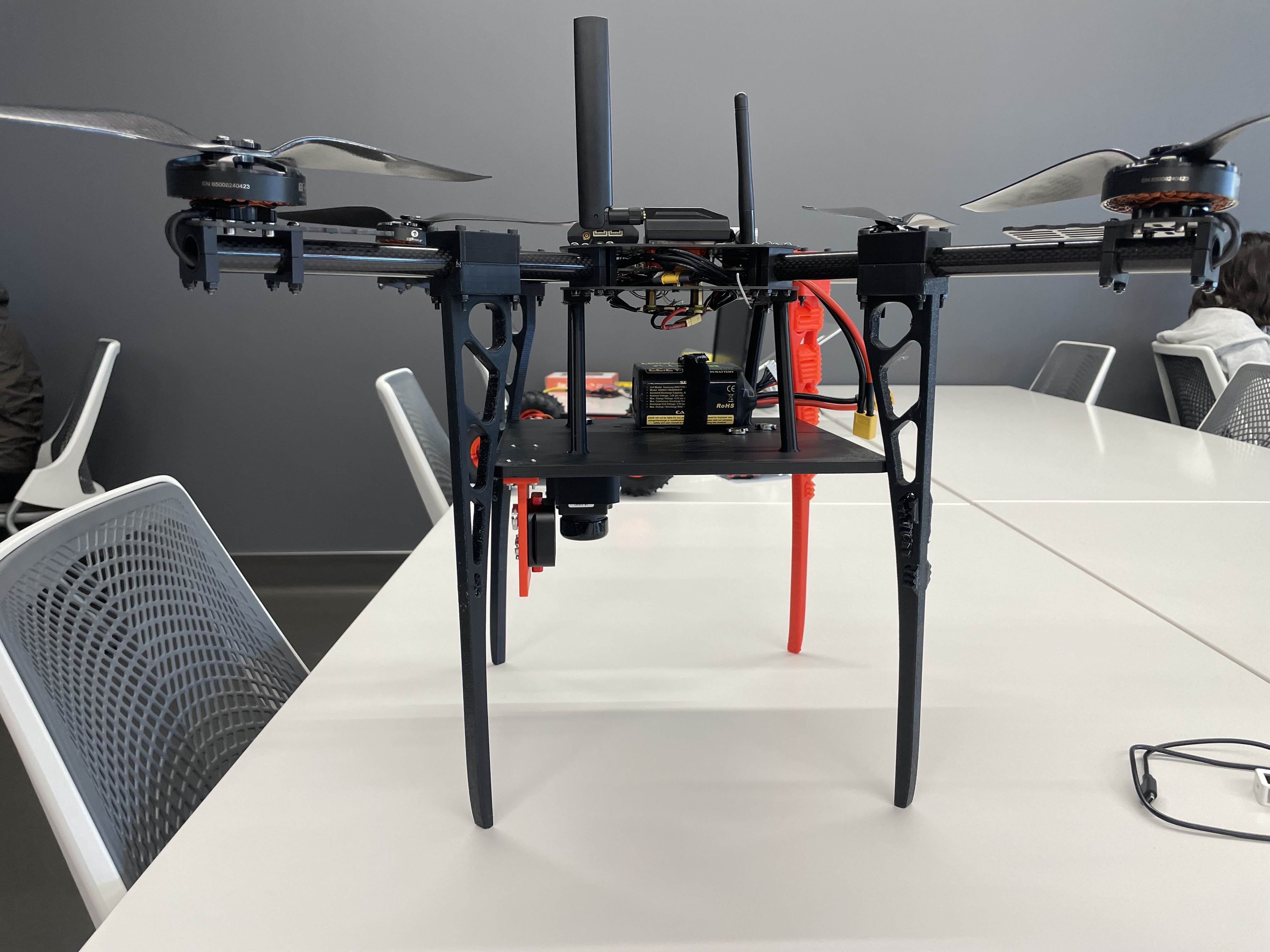
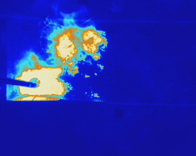
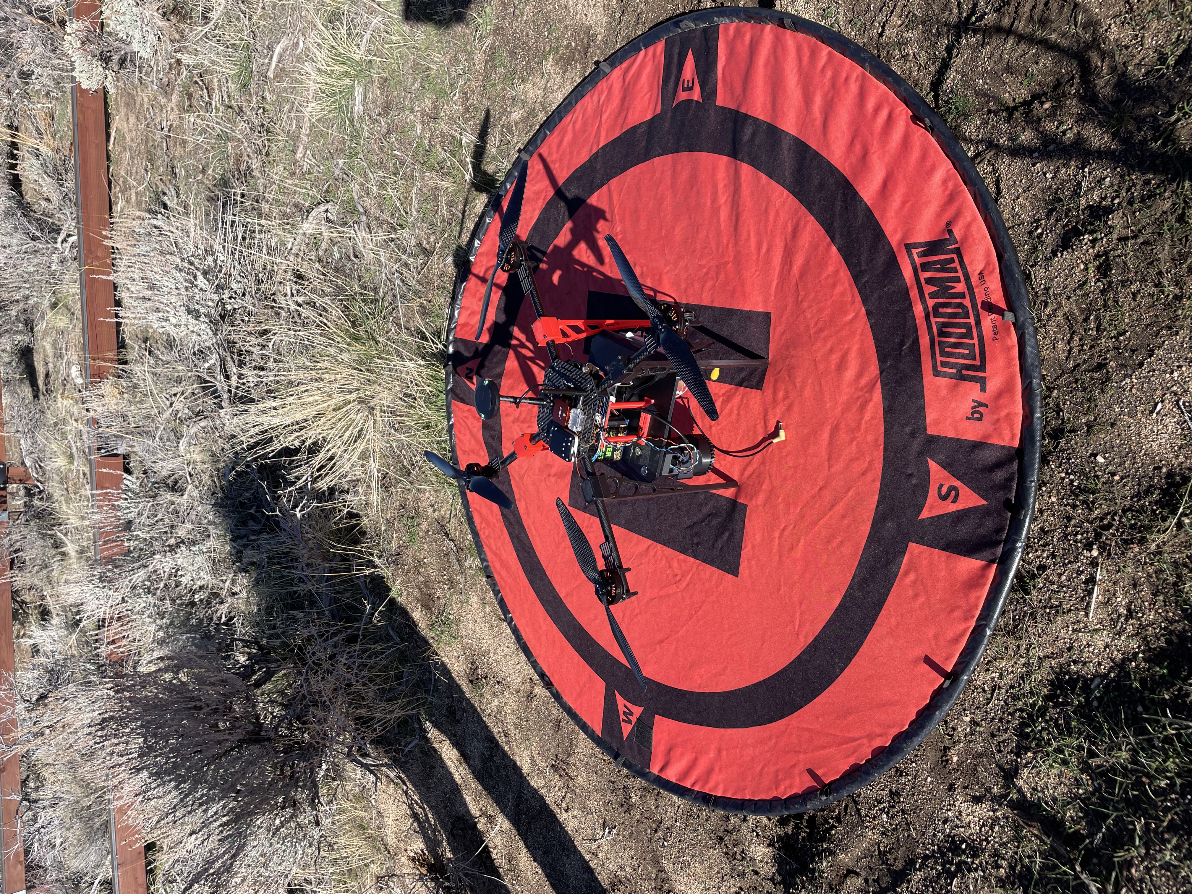
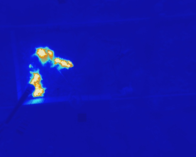
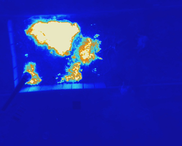
Environmental monitoring needs thermal and multispectral images tied to a precise location and time. I built a Raspberry Pi 4 controller that receives ground-station commands, triggers both cameras, and logs GPS data with each capture. The integrated system supports geotagged imagery for wildfire and vegetation research.
What I Learned: I learned to configure a Raspberry Pi and use Python with pymavlink to pass commands from the ground station to the UAV. Connecting camera triggers to GPS timestamps showed me why timing matters when imagery needs accurate location data.